Ground Truth in Digital Dublin: Deep mapping in virtual reality
This event has ended
Science Gallery, Saturday 1st June
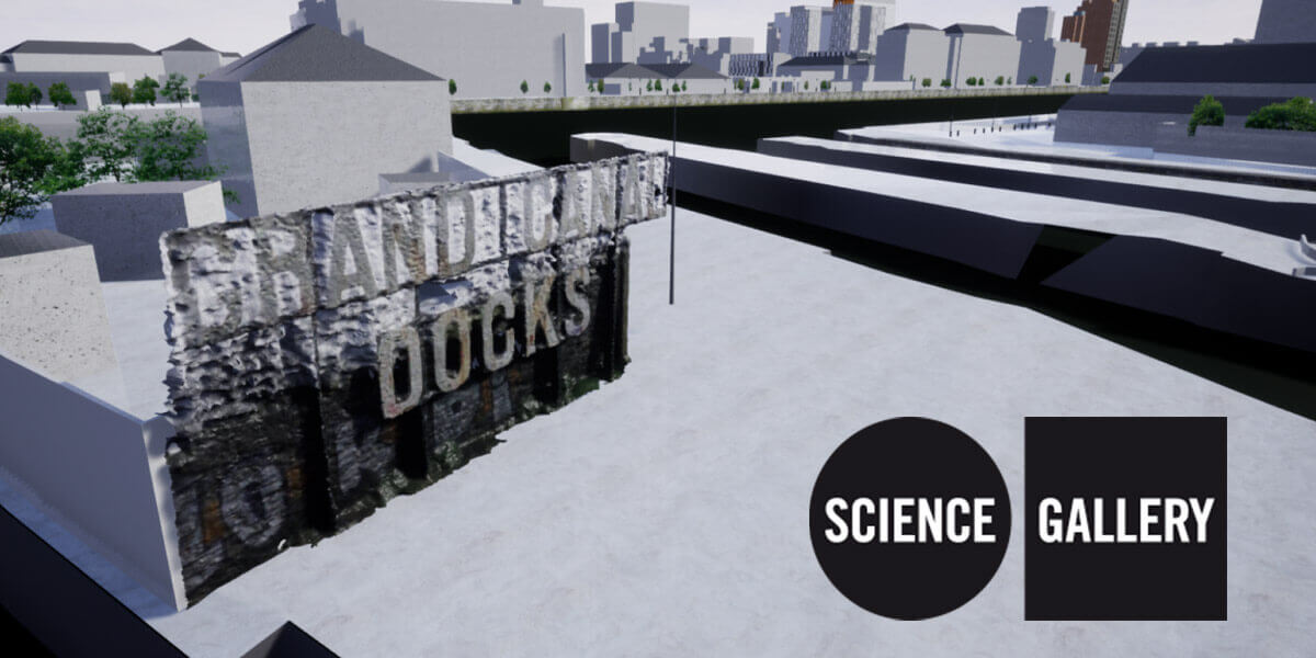
Join the Building City Dashboards (BCD) team from Maynooth University to explore the Dublin Docklands in search of the city’s hidden digital double. FInd out how you can capture data for yourself that can contribute to the production of a ‘Digital Twin’ of the city.
In this session, the BCD team will introduce you to Dublin’s open data through a demonstration of the Dublin City Dashboard. You’ll learn how to capture a range of urban data, including photoreal 3D models that can be generated from a collection of photos, taken with nothing more than a camera phone. The BCD team will then lead an expedition (on foot) into the Dublin Docklands where you’ll capture sound, still images and 360-degree videos. Back in Science Gallery Dublin, the BCD team will demonstrate a Virtual Reality application demonstrating the ways in which different media captured during the practical activity can be used to create the Dockland’s Digital Twin. They’ll also give you some take-home info on how you can use this process in other settings. The session will wrap up with an open discussion on the uses and applications of publicly available data, and questions about data privacy and ethics
Visitors are encouraged to bring their own smartphones to the session and will be invited to voluntarily submit media captured during practical activity for use in a future BCD project exhibit and research paper.